|
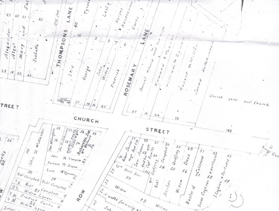
Archibald Stewart's Map of Church Street 1758 (T/837) This
map shows individual plots of land in the street and the names of the
persons holding them from the Irish Society in 1758. Note that each
plot is numbered and the frontage of each plot is given in feet.
These measurements can often be compared, directly, with the frontages
given in 1832 and 1859 Valuations.
|