|
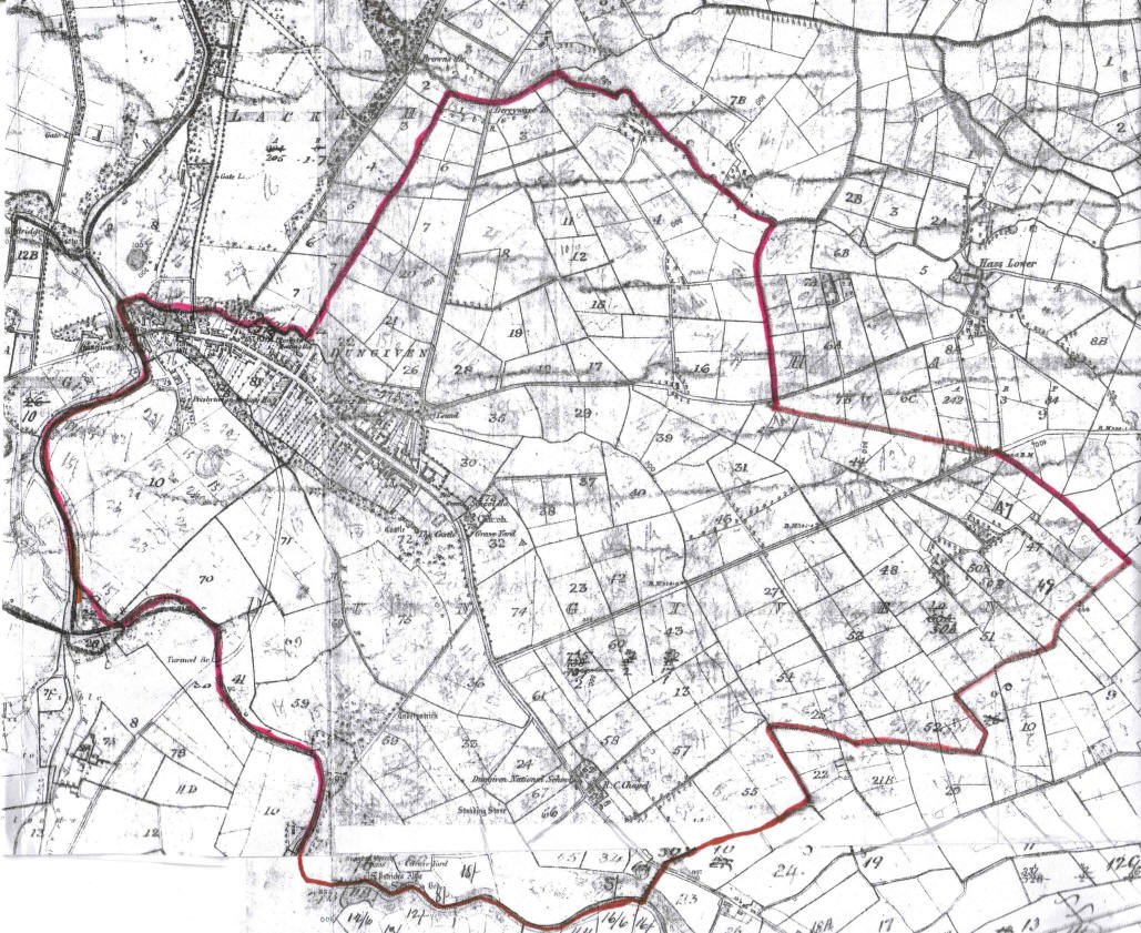
This 1859
Valuation Map shows the town of Dungiven located within the
townland of Dungiven. The numbers on the map [1 to 80]
refer to plots of land in the townland, outside the built up
area of the town. Most of these plots were held by persons who
lived in the town. In this sense the townland of Dungiven was
really the townparks or suburbs of the town. The town itself
is marked as lot 81, just about visible on the map. The streets
within the town are shown on a separate, large scale, map of
the town which has its own set of numbers. Note that the National
School and the Roman Catholic Chapel are situated to the south-east
of the town. There is also another school shown in the town,
beside the Parish Church. Pellipar House is situated north of
the town on the east bank of the River Roe. Parts of the surrounding
townlands of Owenbeg, Ballyguddin, Lackagh, Derryware, Hass,
Magheraboy and Turmeel are also shown on this map. Sorry about
the quality of the map! Try askaboutireland.ie/griffith-valuation
1846-64 for a better map. Even this map is not up
to the usual standard.
|